Otay Mountain Gravel Adventure Guide
Otay Mountain Wilderness
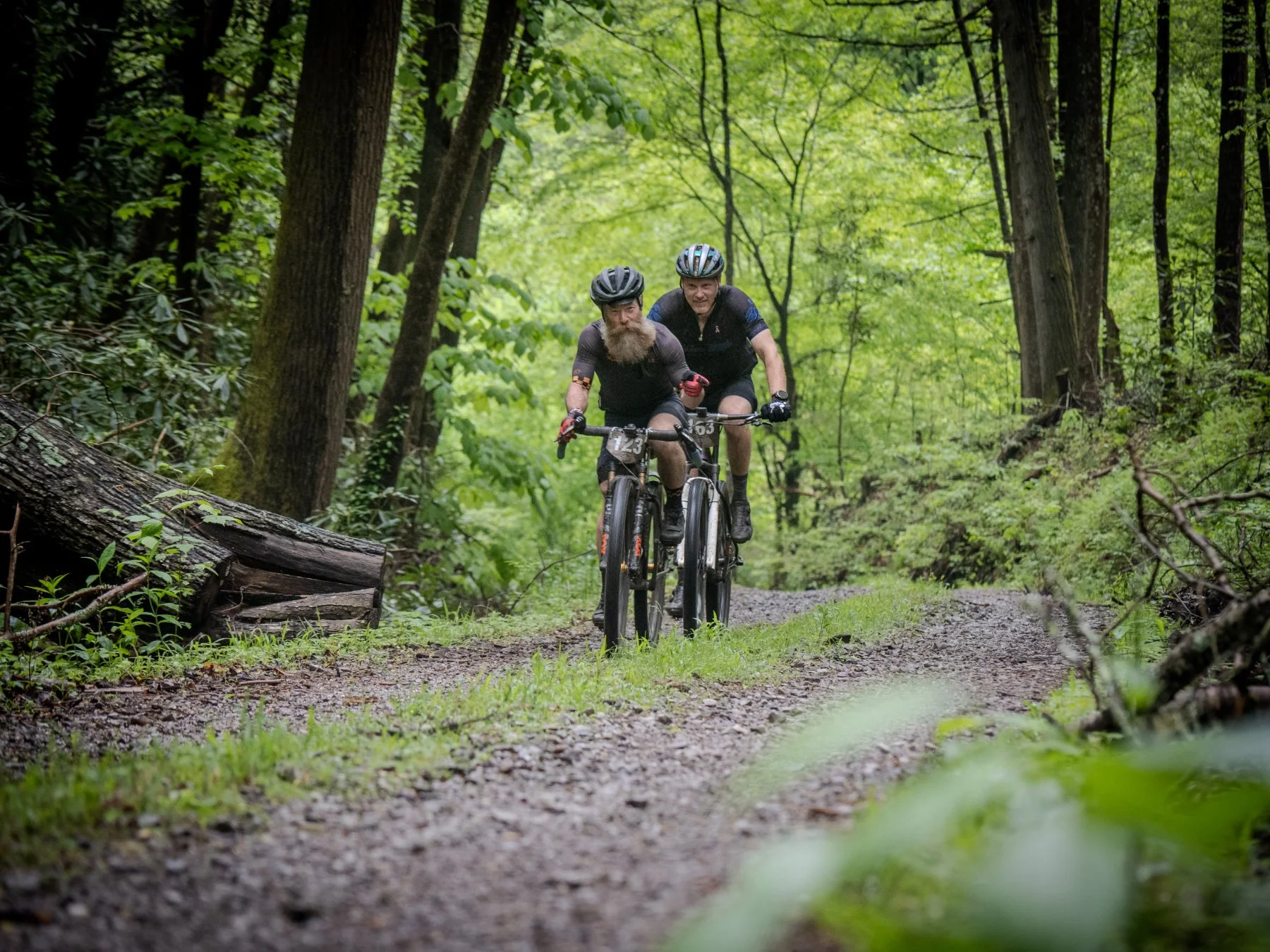
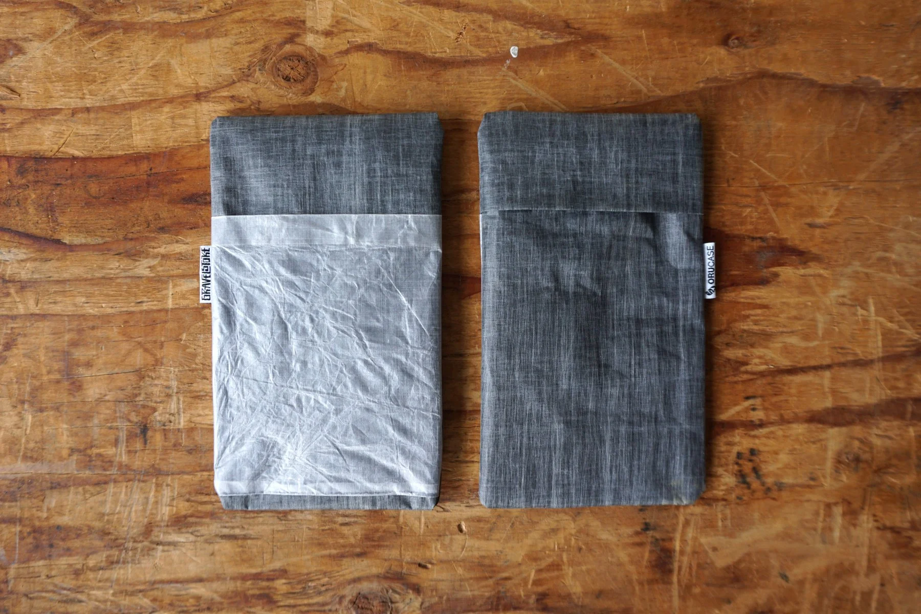
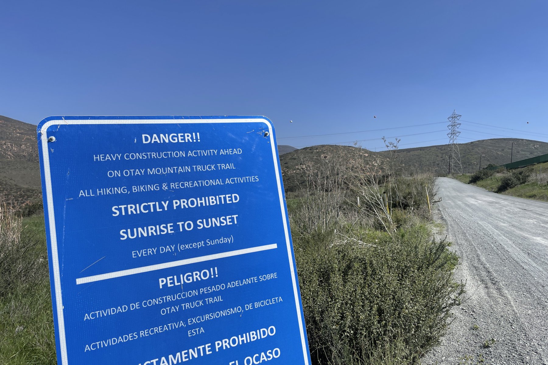
The Otay Mountain Wilderness is located near the U.S.-Mexico border in eastern San Diego County. This BLM land has a total of 16,885 acres and was first included in the National Wilderness Preservation System in 1999. According to the Otay Mountain Wilderness page on blm.gov, “The mountain represents a unique ecosystem, home to twenty sensitive plant and animal species, including the endangered quino checkerspot butterfly, the only known stand of Tecate cypress, as well as the only known population of the Mexican flannel bush.” Given the proximity to San Diego, well-maintained gravel roads, and rugged landscape, this wilderness area presents the perfect opportunity for a half-day gravel adventure ride. In this story, we outline a recommended Otay Mountain gravel route that includes the 5.25-mile Minnewawa Truck Trail climb. Be sure to watch out for vehicles, dirt bikes, and other off-roaders that may be traveling fast on the narrow sections and blind turns. Border Patrol is also quite active in the area. The sign at the base of Otay Mountain Truck Trail clearly states that the road is open only on Sundays. Please follow instructions on all posted signs during your visit, as trail status may change since this write-up was first posted. All photos in the gallery below were captured on my iPhone, which I store in an Explore Wallet with other essentials for protection and easy camera access while riding.
Otay Mountain Gravel Route
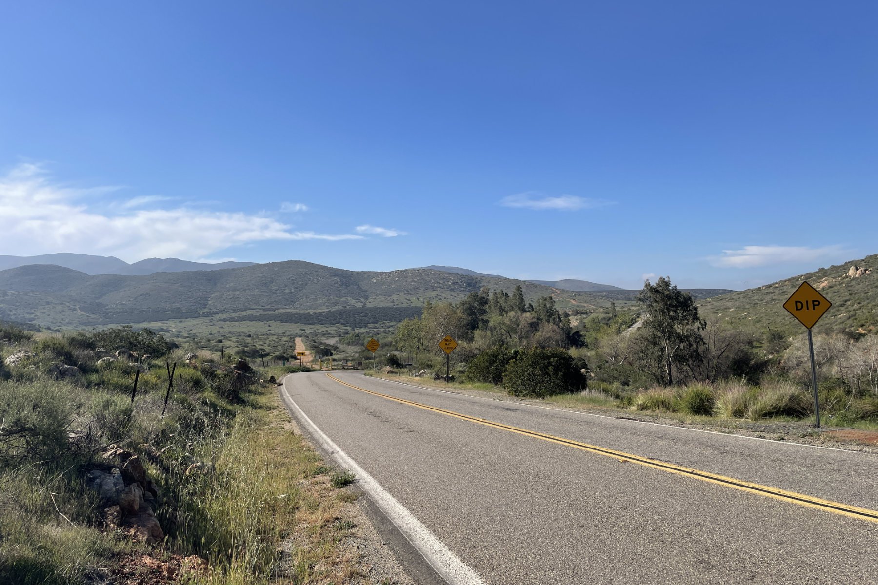
Our Otay Mountain gravel route starts at Mountain Hawk Park in Chula Vista, CA. From there you head around Lower Otay Lake on Wueste Rd and Otay Lakes Rd. There are lots of gravel paths and singletrack that you can also explore closer to shore, but the road will be the quickest way to the base of Minnewawa Truck Trail. After passing the lake you’ll see Skydive San Diego on the right, then you will steadily climb the road up to Otay Mountain Trailhead and the Pio Pico campground and country store.

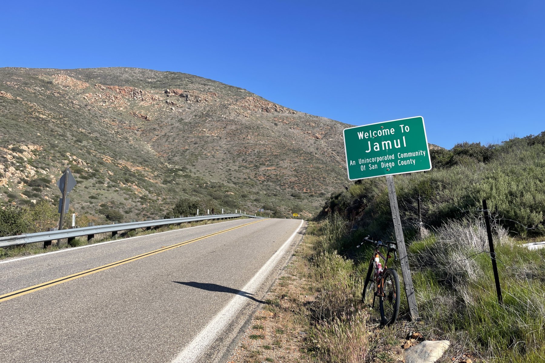
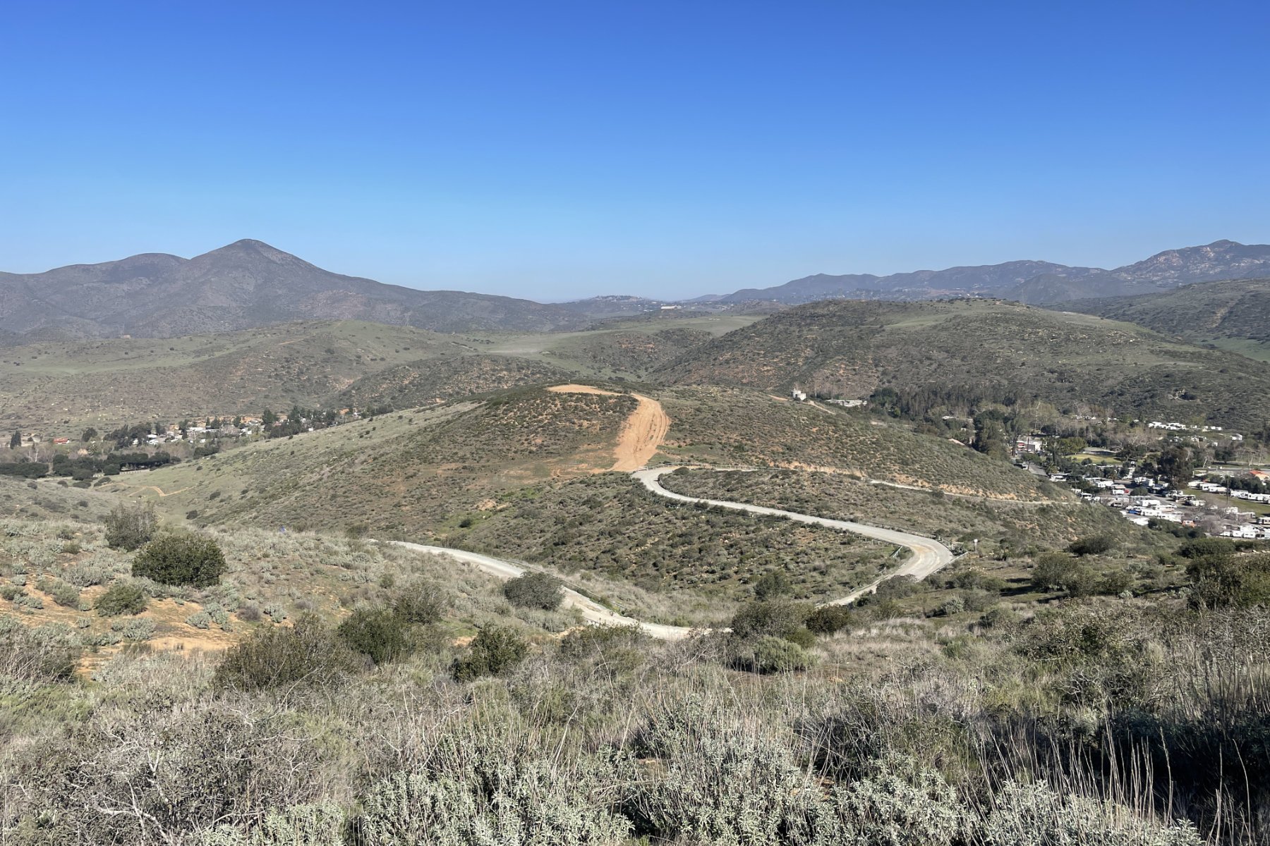
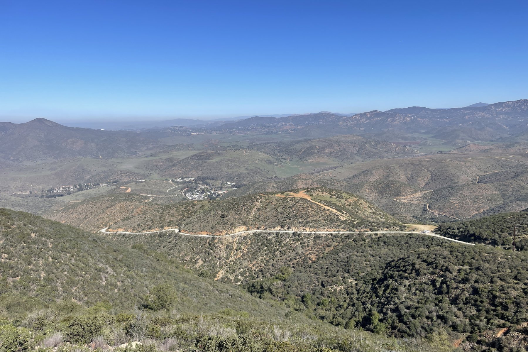
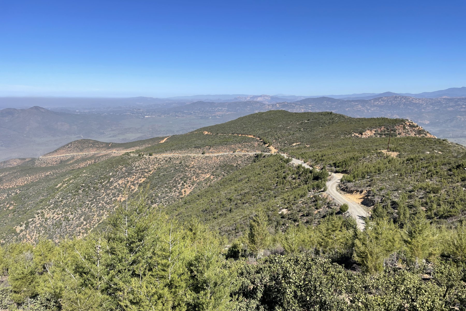
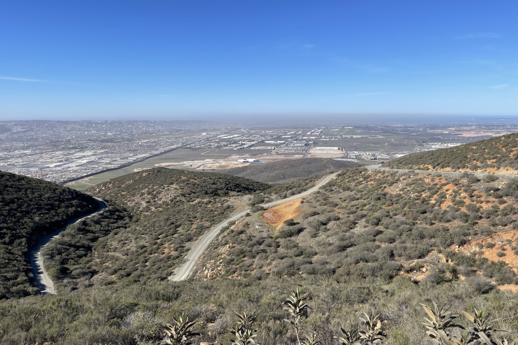
Minnewawa Truck Trail gravel climb in the Otay Mountain Wilderness
MINNEWAWA TRUCK TRAIL CLIMB
Location Jamul, CA
Distance 5.25mi
Elevation 2640ft
Avg Grade 9.5%
Category HC
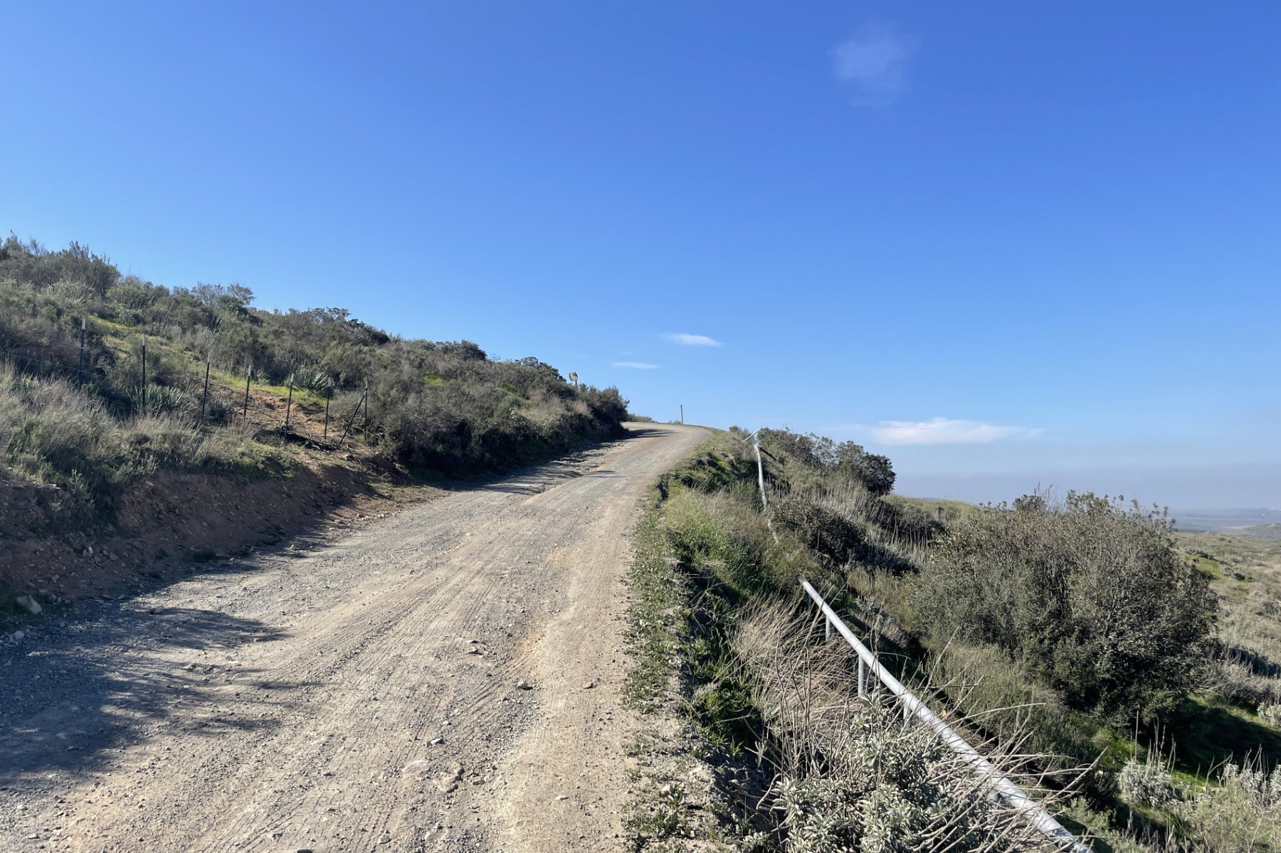
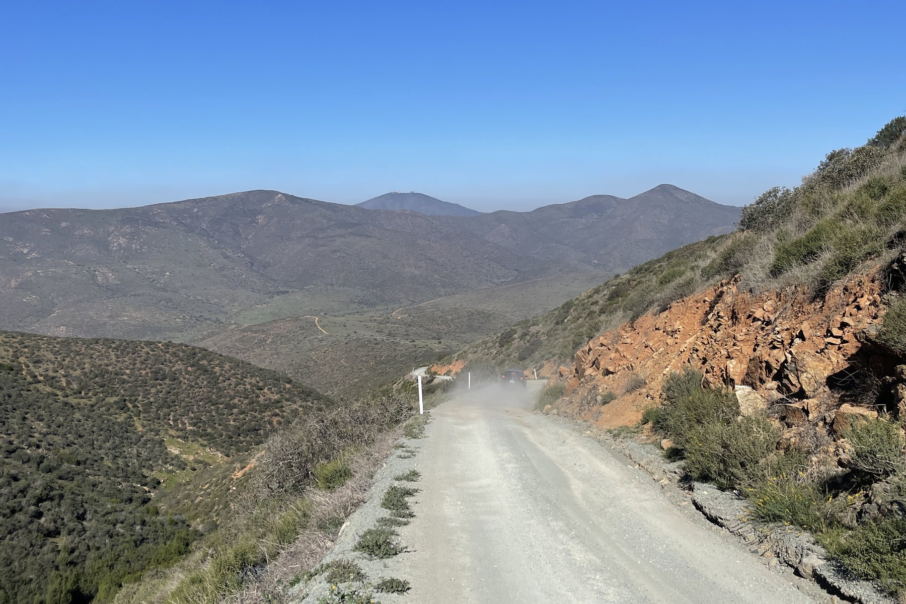
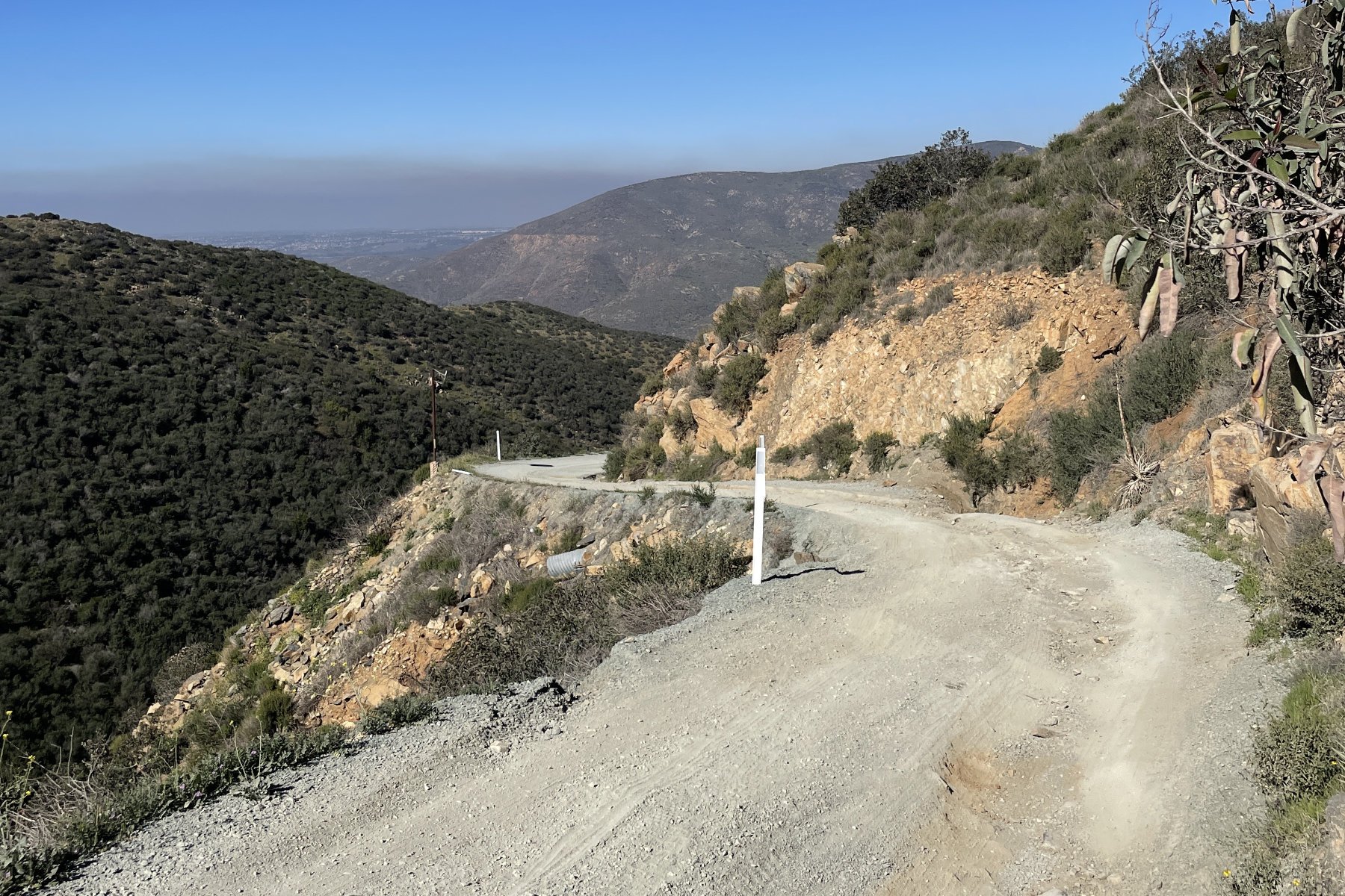
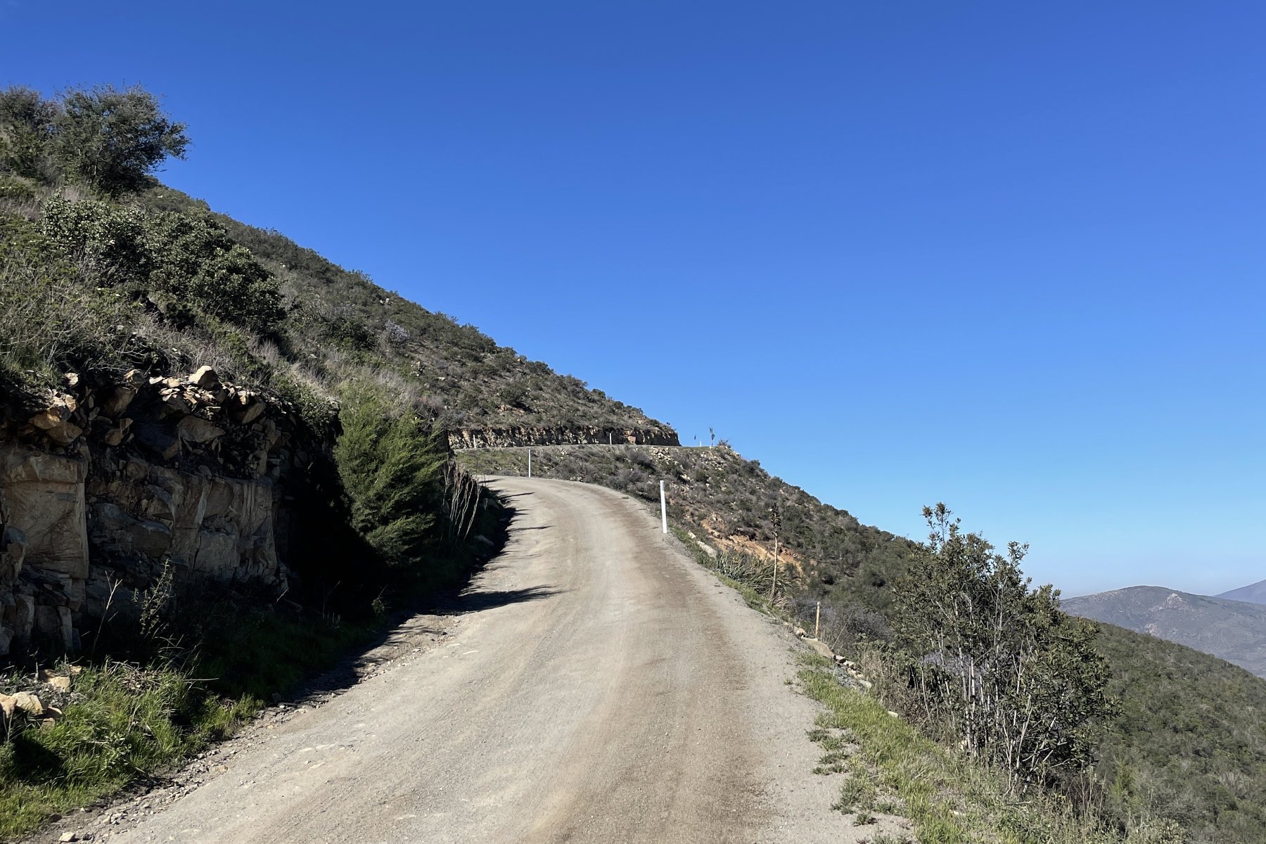
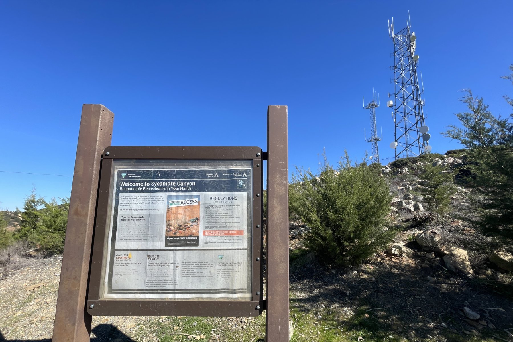
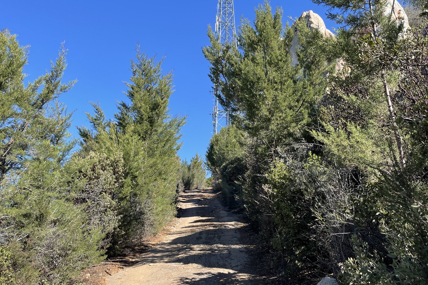
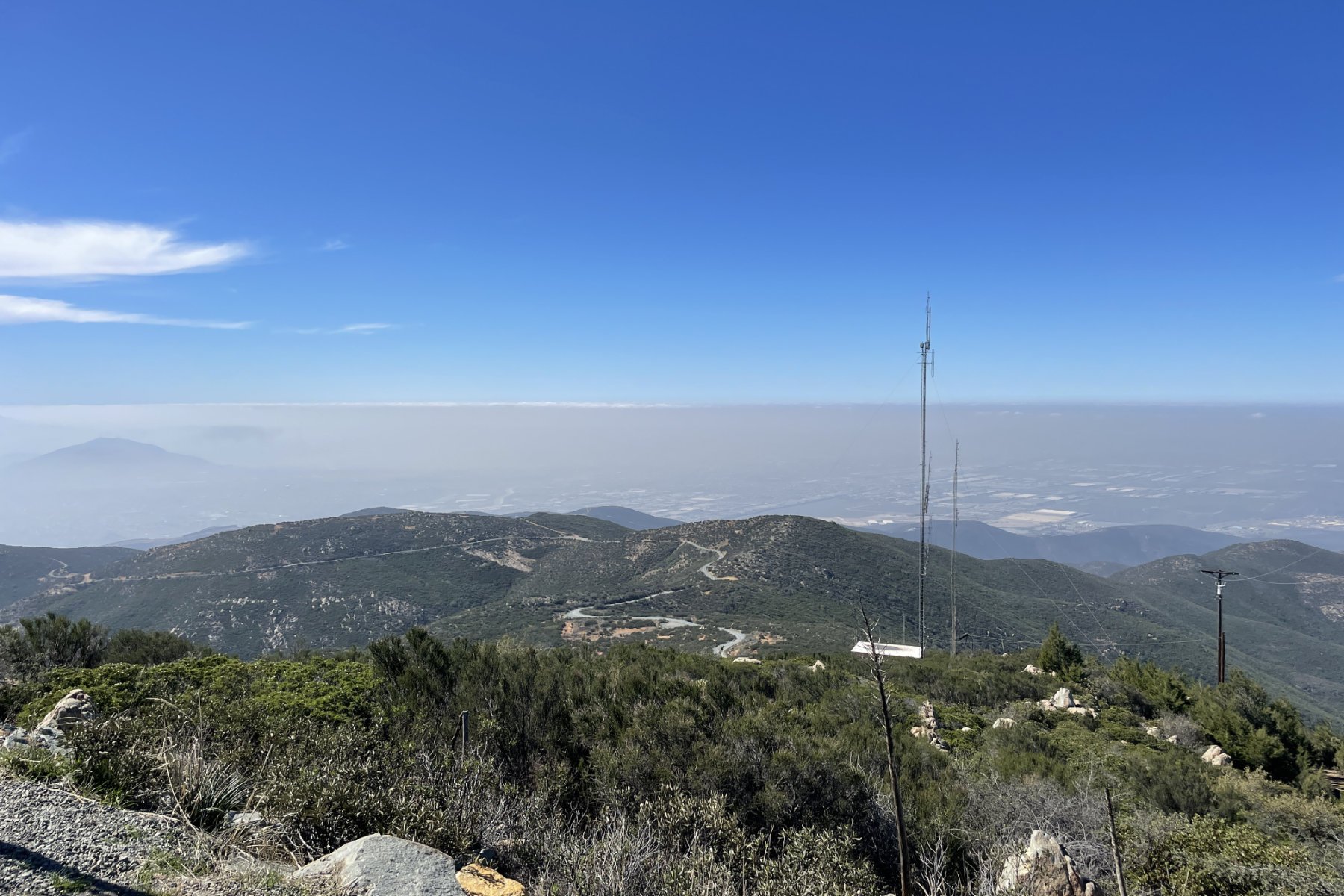
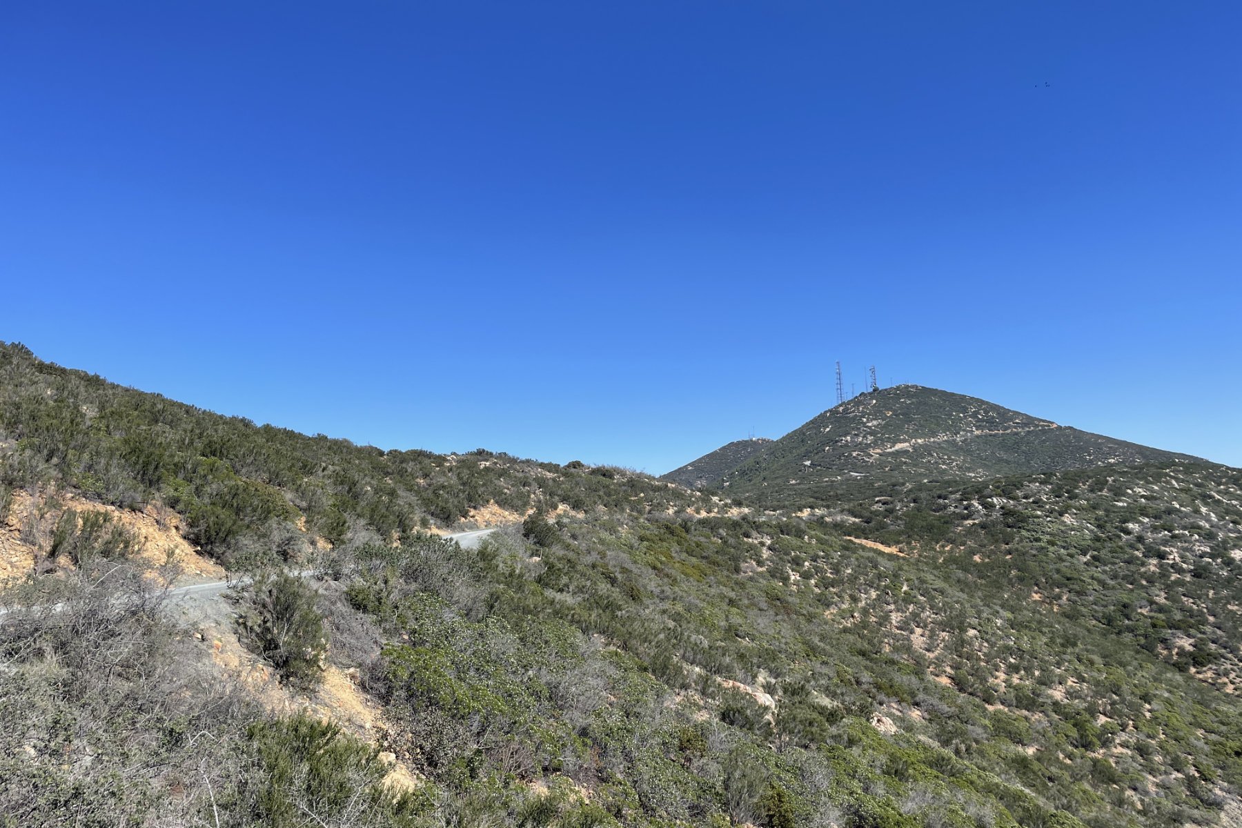
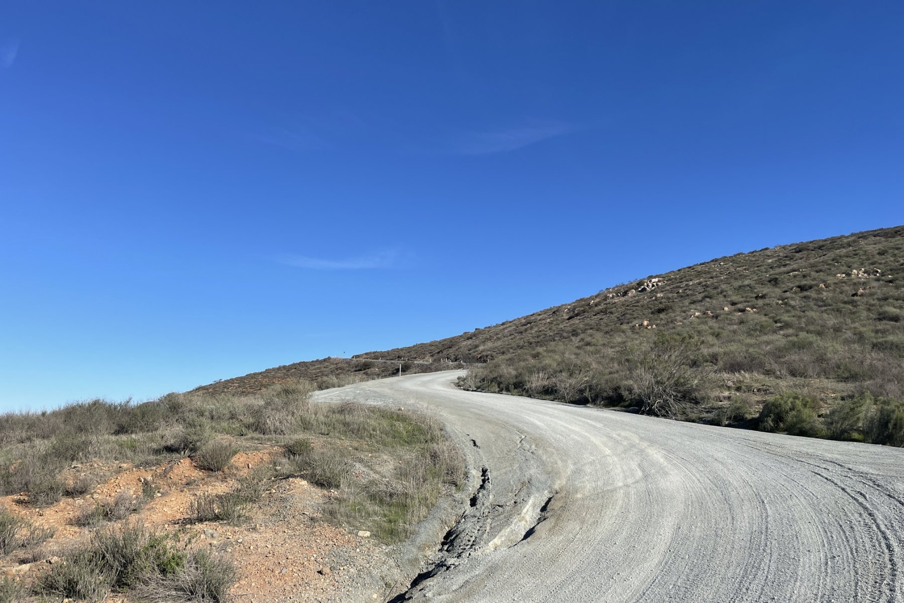
The Minnewawa Truck Trail climb starts here and ascends over 2500ft in just over 5 miles with an average grade of 9.5%. The climb is steep at times, but overall the road is in good condition with only the occasional ruts. Once you reach the top there is an open area at the intersection of Minnewawa and Otay Mountain Truck Trail called Doghouse Junction. It’s worth pausing here to take in the views of Mexico, then continue south on Otay Mountain Truck Trail. After a few hundred yards take a right turn at the fork to make the final short push to the summit where you’ll be surrounded by radio towers and stickered junction boxes. Take in the impressive views and from here you can get a good look at the gravel road you will soon descend.

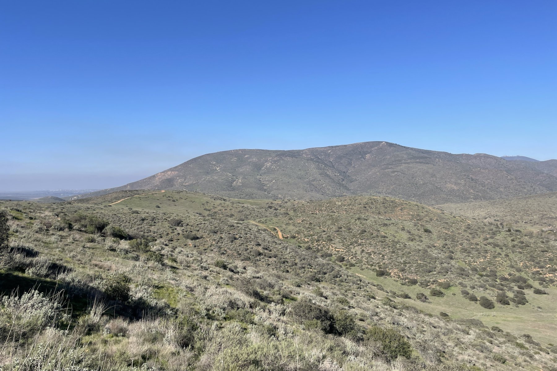
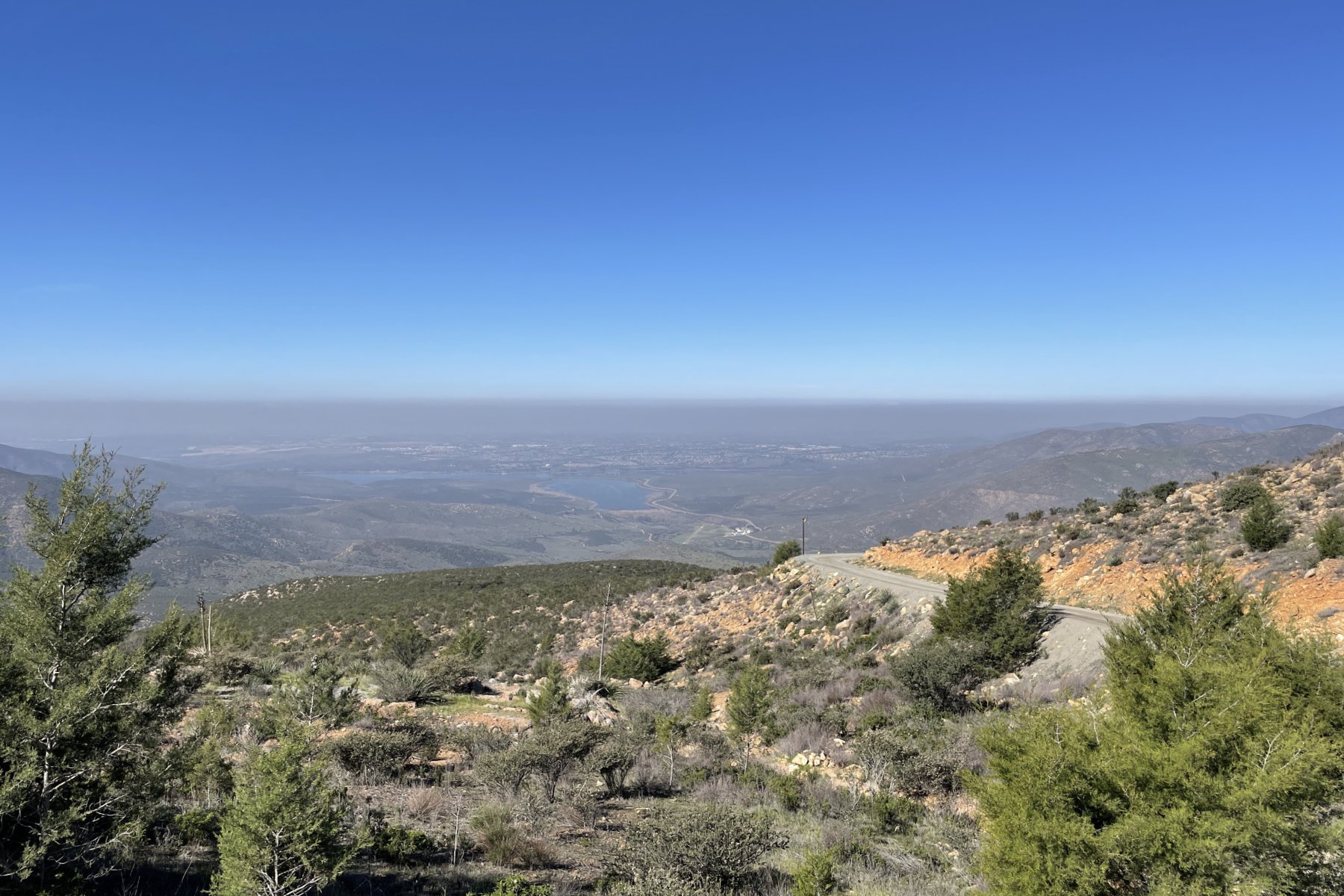
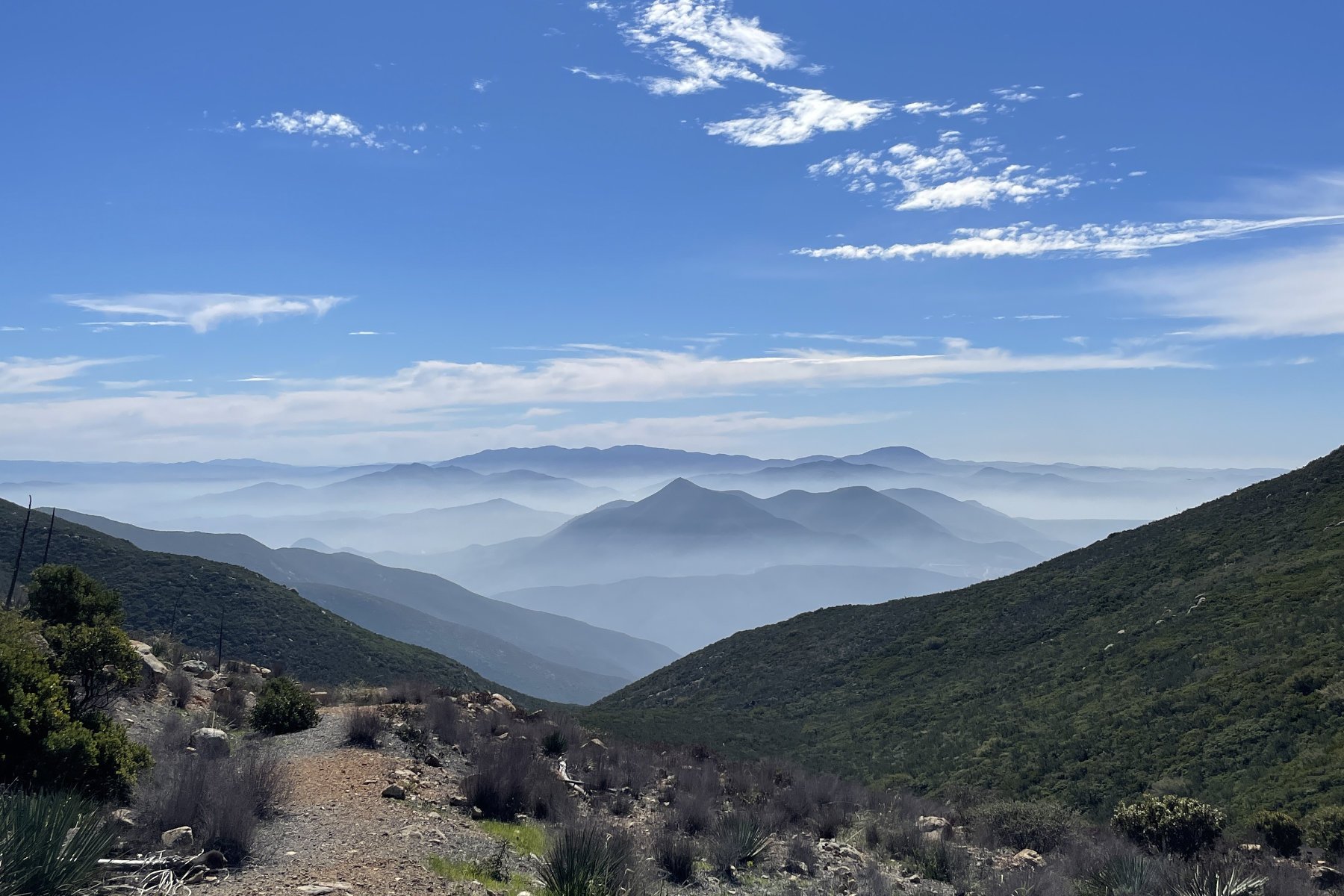
View from the Otay Mountain summit facing south in February 2022
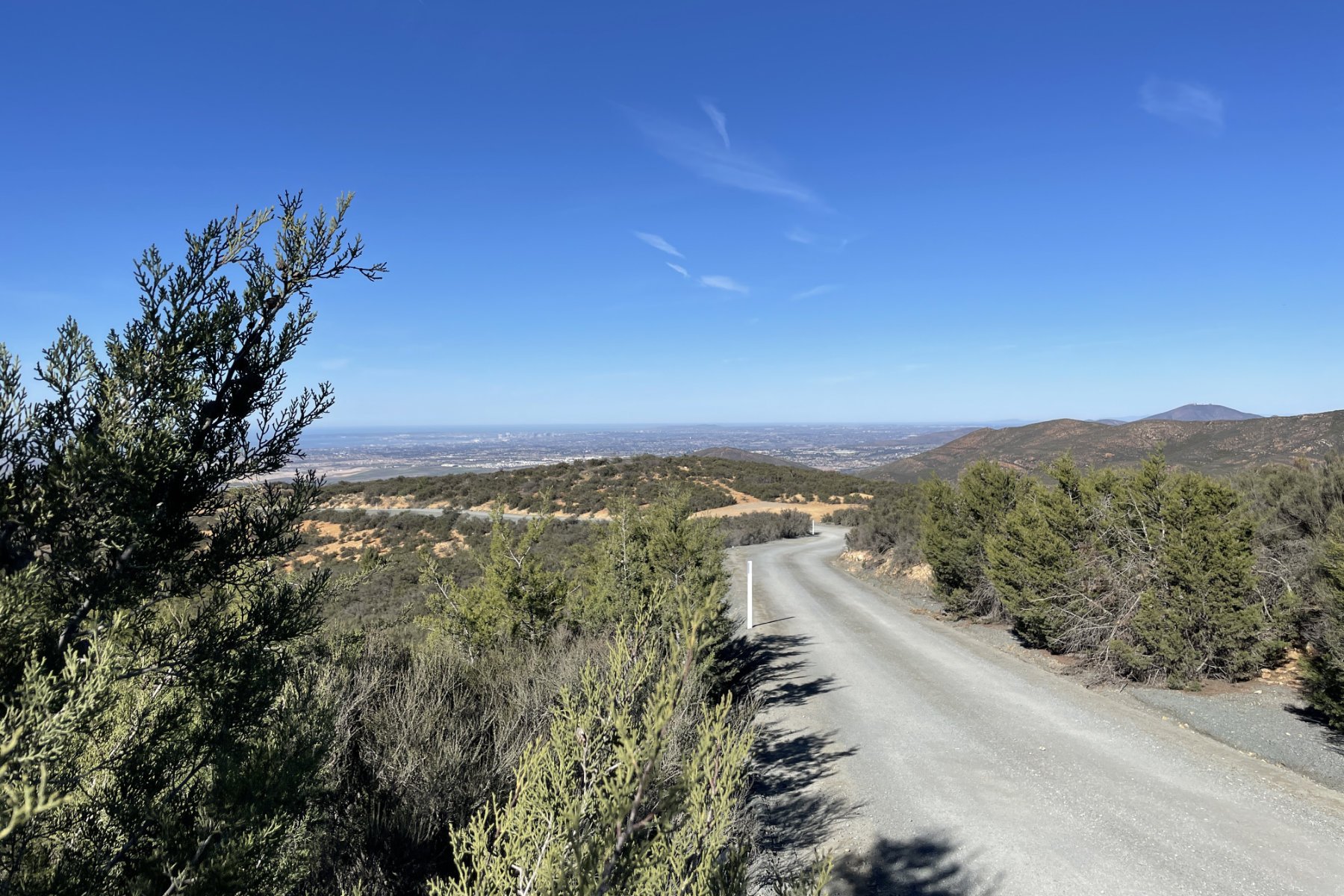
From here there is a 7.3-mile descent down Otay Mountain Truck Trail to the southwest that I preferred over descending Minnewawa given its more gradual average grade of 6.7% and overall more predictable gravel surface. On the descent, be cautious of oncoming traffic while you take in views of the US/Mexico border wall to the south. You will eventually reach a gate, then intersect with Alta Rd. From here the most direct route back to the start would be to follow some paved and dirt roads heading northwest that cross over the Otay River and through Otay Lakes County Park back to Wueste Rd. I’ve successfully ridden through this section only once, as on my second attempt there was an unpassable closed gate at the Otay Water Treatment Plant at the southernmost end of Wueste Rd. The option I’ve outlined here takes you back via Otay Mesa Road, the South Bay Expressway (CA 125). Bicycles are allowed on the South Bay Expressway between Otay Mesa Road and Birch Road only. Take the Birch Rd exit and navigate back to the start.
We hope you enjoyed our Gravel Adventure Guide for the Otay Mountain Wilderness. This guide is not intended to be exhaustive, but rather just enough information to get you curious to explore the mountain for yourself. There is certainly much more to ride in this region and we can update the guide appropriately with additional research and recon. If you do go exploring, remember to always bring plenty of water, food, and the appropriate supplies. As for other great gravel routes, we hope this story serves as a template for future Gravel Adventure Guides on Gravelstoke.com with submissions from our Development Team members and other friends. If you have additional tips, suggestions, or experiences riding in the Otay Mountain Wilderness please leave them in the comments below.
LINKS