The stoke train continues as we extend the streak to month two. Adam Cordi is leading our February Gravelstoke epic out of San Pasqual Valley on Saturday, February 21st, rolling at 8:00 AM from the San Pasqual Valley Staging Area.
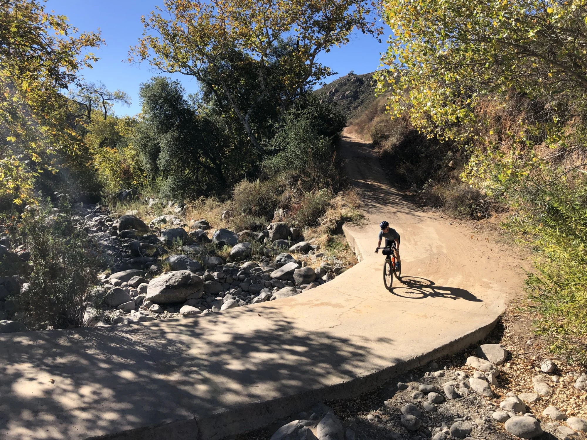
This 70-mile route with 5,500+ feet of climbing connects San Pasqual Valley to Santa Ysabel across our favorite backcountry roads and gravel segments. You'll tackle Bandy Canyon, Sutherland Dam, and the signature stretch that gives this ride its teeth... Black Canyon. This notorious 11-mile segment in the Cleveland National Forest climbs 2,000 feet on premium gravel that will be in perfect condition this time of year.
At mile 43, refuel at Julian Pie Company with hot coffee and a slice of Mountain Berry Pie topped with ice cream, well-earned calories for the push home. The route covers climbs known for their out-of-reach KOMs and demands fitness, mechanical self-sufficiency, and proper planning.
Looking for something a little less ambitious? We'll have a 45-mile option that skips the pie but treats you to a special visit to Pamo Road, offering spectacular views up and down beautiful Pamo Valley and the surrounding foothills.
Like all our routes, this is a self-supported adventure. Pack accordingly and know your limits. Stay tuned for the official Pie in the Sky Ride With GPS route and be sure to join us on Strava and Subscribe.
Important Reminders
Bike Setup & Self-Sufficiency: With diverse road and dirt surfaces, the optimal setup is a gravel bike with tubeless tires at least 40mm wide. Come completely self-sufficient with hand pump, CO2 cartridges, extra tubes, multi-tool, chain links, and derailleur hanger. Carry ample food and water for 5+ hours of riding, resupply opportunities are marked on the RWGPS route.
Route Responsibility & Safety: This is entirely self-supported with no SAG wagon, aid stations, or course marking. You're 100% responsible for navigation, mechanicals, nutrition, and emergency extraction. Download the suggested route to your GPS device and carry a backup navigation method. Cell service will be spotty. Weather can change rapidly. Pack layers and check conditions before departure.
Trail Etiquette: Help us preserve access by staying on designated trails and never riding dirt in wet or muddy conditions. When encountering hikers, equestrians, or other riders, slow down, communicate early, and pass safely with a friendly greeting. Respect private property and follow Leave No Trace principles throughout your adventure.
And Lastly: Gravelstoke assumes no responsibility for incidents, injuries, or mishaps; this is strictly a "ride at your own risk" event. We'll likely have multiple groups rolling at different paces, so find a group that matches your comfort level and fitness. The course remains open to traffic throughout. Obey all traffic laws and stay vigilant for vehicles, especially on the paved sections.